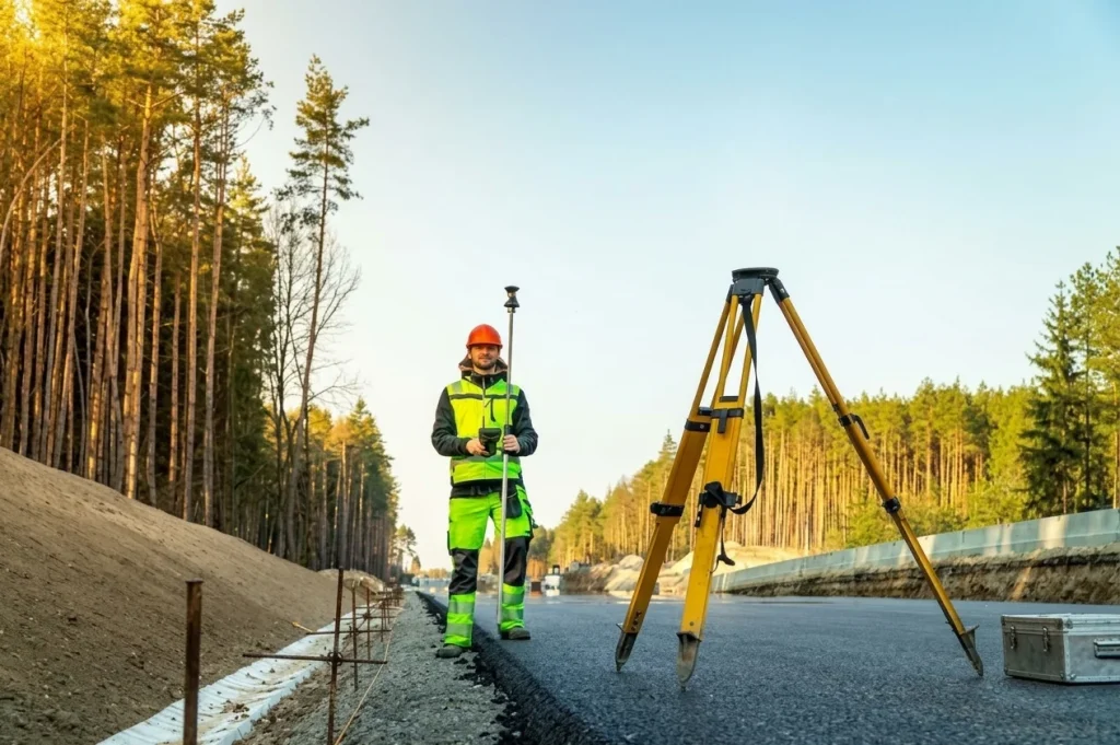
Choosing the right survey equipment starts with understanding your project needs. Focus on accuracy and performance in your working conditions. The right instrument will help you take reliable measurements and avoid costly errors while keeping your work efficient. This guide explains the key factors to consider so you can make the right choice for your project.
Survey equipment helps construction teams measure distances, establish positions and determine ground elevations. Knowing what to look for when choosing survey equipment helps you select instruments that meet project requirements without spending money on unnecessary features. The right choice depends on the type of survey, required accuracy, site conditions and how the collected data will be used.
A total station, GNSS receiver and digital level each serve different purposes. Choosing the wrong instrument can cause measurement errors, repeated fieldwork and delays in construction. Comparing equipment specifications, operating requirements and long-term costs before purchasing helps surveyors and contractors make practical decisions.
How do you identify your surveying requirements?
Start by identifying the measurements your project requires. The right equipment depends on whether you are setting out a building, measuring land boundaries, checking elevations or mapping a large site. Defining these tasks helps you compare suitable instruments and avoid purchasing equipment that does not support your daily work.
Consider the main applications before making a decision.
- Construction layout: Total stations help establish building positions, foundation points and structural alignments.
- Land surveying: Total stations and GNSS receivers can measure positions and coordinates, depending on the site and accuracy requirements.
- Elevation measurement: Automatic and digital levels help determine height differences and check construction levels.
- Interior alignment: Laser levels help establish reference lines and consistent heights.
- Large outdoor surveys: GNSS equipment can support positioning and mapping across open areas.
Also consider the size of your site, the frequency of fieldwork and the number of people who will use the instruments. A small building project may need different equipment from a road development project covering several kilometres.
What measurement accuracy should you look for?
Choose survey equipment that meets the accuracy requirements specified for your project. Compare angular accuracy, distance measurement accuracy, levelling performance or positioning accuracy according to the instrument type. The required precision depends on the work, and the equipment must be capable of meeting those requirements under actual field conditions.
Measurement errors can affect foundation positions, road gradients, drainage levels and boundary calculations. Before purchasing, review the manufacturer’s specifications and understand the conditions under which the stated performance can be achieved.
Check these factors when comparing instruments.
- Angular and distance accuracy for total stations.
- Height measurement performance for levelling instruments.
- Horizontal and vertical positioning accuracy for GNSS receivers.
- Working range and environmental limitations.
- Calibration and field verification requirements.
GNSS performance, for example, can be affected by buildings, trees, satellite visibility and the availability of correction data. A high-specification receiver may still produce unreliable results when the site prevents suitable satellite reception.
The ISO 17123-1 standard provides guidance on field procedures for evaluating surveying instruments. It is a useful reference when developing equipment checking procedures for measurement work.
Which surveying instrument should you choose?
The best instrument depends on the measurements you need to collect and the conditions in which you work. Total stations measure angles and distances, GNSS receivers determine positions using satellite signals, and levelling instruments measure differences in elevation. Comparing their functions helps you choose equipment suited to your project.
| Instrument | Common Applications | What to Check |
|---|---|---|
| Total station | Construction layout and topographic surveys | Angular and distance accuracy |
| GNSS receiver | Land positioning and large-site surveys | Satellite visibility and correction availability |
| Automatic level | Construction levelling and height transfer | Levelling performance and staff compatibility |
| Digital level | Repeated and precise elevation measurements | Instrument specifications and compatible staff |
| Laser level | Interior alignment and reference heights | Working range and visibility |
Some projects require more than one instrument. A construction team might use a total station to establish building positions and an automatic level to check foundation elevations.
When comparing available models, review the actual specifications rather than choosing by brand or price alone. Abul Fazl’s surveying instrument range includes equipment for different measurement and construction applications, so the intended use should guide the final selection.
How do site conditions affect equipment selection?
Site conditions affect instrument performance, reliability and ease of use. Before buying, check whether the equipment can operate within the expected temperature range and withstand the dust, moisture and handling conditions common at your worksite. Consider battery life and transport requirements if surveyors spend long hours outdoors.
For example, equipment used on a dusty construction site needs suitable environmental protection and careful storage. A team working across remote locations may also need spare batteries because charging facilities are not always available.
Review the following practical features.
- Dust and water protection ratings.
- Operating temperature range.
- Battery life and charging options.
- Housing durability and carrying case quality.
- Tripod, pole and accessory compatibility.
Do not assume that a rugged instrument requires no maintenance. Clean lenses carefully, secure equipment during transport and follow the manufacturer’s instructions for storage. These steps help protect the instrument and maintain consistent performance.
What software and data compatibility should you check?
Survey equipment should work with the software and data formats used by your team. Before purchasing, confirm that the instrument can transfer measurements into your existing surveying, mapping or CAD workflow. Compatibility helps reduce manual data entry and prevents unnecessary conversion work when field measurements are prepared for drawings and reports.
Check whether the equipment supports the required coordinate systems, file formats and data transfer methods. If a controller or data collector is included, make sure it is suitable for your existing setup.
Also consider how easy the system is to operate. A complicated interface can slow down fieldwork, particularly when multiple surveyors share equipment. Clear menus, suitable training and accessible technical documentation help reduce operating mistakes.
How do you calculate the total cost of survey equipment?
The total cost includes more than the purchase price. Accessories, software, training, maintenance and repairs can increase the investment over time. Comparing these expenses helps you identify equipment that fits your budget while meeting the accuracy and reliability requirements of your projects.
For a total station, you may need a tripod, prism, pole and carrying case. A GNSS system may require a controller, accessories or a subscription to correction services, depending on the model.
Include the following expenses in your budget.
- Initial equipment cost and essential accessories.
- Software licences and service subscriptions.
- Operator training and setup.
- Calibration, maintenance and repairs.
- Spare batteries and replacement parts.
- Potential downtime during servicing.
Lower-priced equipment may suit occasional, straightforward work. For daily surveying, reliability and access to repairs may be more important than the initial price. Compare expected operating costs over the instrument’s working life before making a final decision.
Why are calibration and technical support important?
Calibration and regular field checks help identify measurement problems before they affect project results. Before buying equipment, review the manufacturer’s maintenance recommendations, warranty terms and service options. Access to technical support and replacement parts can also help reduce downtime when repairs are needed.
Before fieldwork, inspect the instrument, confirm that it is set up correctly and complete the required verification procedures. If measurements differ unexpectedly from known points, check the instrument, setup and site conditions before continuing.
For GNSS systems, ISO 17123-11 describes field procedures for evaluating system performance and measurement uncertainty.
Before making a purchase, ask about calibration services, repair options and the availability of technical guidance. It is also worth checking how long servicing usually takes, especially when project deadlines depend on regular field measurements.
When comparing equipment, consider its specifications and the accessories you need for your work to choose the most suitable option. A surveying equipment supplier can help clarify these requirements and explain which features are suitable for your applications.
What should you check before purchasing?
A consistent checklist helps you compare equipment based on project requirements rather than extra features or brand recognition. Review each model against the same criteria, and arrange a demonstration where possible. Testing common tasks before purchase can reveal practical limitations that are not obvious from the product specifications.
Use this checklist before making your decision.
- The instrument suits the surveying task.
- Accuracy meets the project’s specified tolerances.
- The operating range suits the site.
- Environmental protection matches working conditions.
- Required accessories are available.
- Software and data formats are compatible.
- Battery life supports the field schedule.
- Calibration and repair services are accessible.
- Warranty and replacement-part arrangements are clear.
- Total ownership cost fits the budget.
Conclusion
Knowing what to look for when choosing survey equipment helps you match the instrument to your project’s accuracy requirements, site conditions and budget. Check the specifications, compare compatible accessories and consider the cost of maintenance before purchasing. These steps can reduce measurement errors, avoid unnecessary expenses and keep fieldwork on schedule.
Whether you are preparing a construction site, measuring elevations or carrying out land surveys, Abul Fazl offers surveying instruments for different measurement applications. Understanding your requirements first will help you select equipment that supports dependable results and efficient work.
Not sure which survey instrument fits your project?
Tell us whether you are setting out a building, measuring land boundaries or checking levels, and our team will help you compare total stations, GNSS receivers and levelling instruments against your accuracy needs, site conditions and budget. You get practical guidance and a clear quote.
Frequently Asked Questions
What factors matter most when choosing survey equipment?
The most important factors are the type of survey, required accuracy, site conditions, software compatibility, durability and total ownership cost. Calibration and technical support should also be considered.
Which surveying equipment is commonly used in construction?
Total stations are commonly used for setting out building positions, while automatic and digital levels help measure elevation differences. GNSS receivers can support positioning across larger sites when satellite conditions and project requirements are suitable.
How often should surveying equipment be calibrated?
Follow the manufacturer’s recommendations and project quality requirements. Check equipment before use and arrange appropriate field verification or professional calibration when required, especially after impacts, repairs or unexpected measurement discrepancies.
Explore More Industry Guides
- Essential 5 Tools Every Surveyor Needs in UAE is the closest match, a direct companion to this topic.
- Importance of Using Quality Construction Tools and Equipment supports the accuracy and long-term cost points.
- The Role of Brand Reputation in UAE Construction Supply fits the supplier and warranty section.
- Understanding Abrasives: What They Are & How to Choose Them: Learn what abrasives are, how they work, and how to choose the right type for your application.
- Tips for Choosing the Right Abrasive Supplier in UAE is on abrasives, but the supplier selection advice carries over to the supplier checklist.